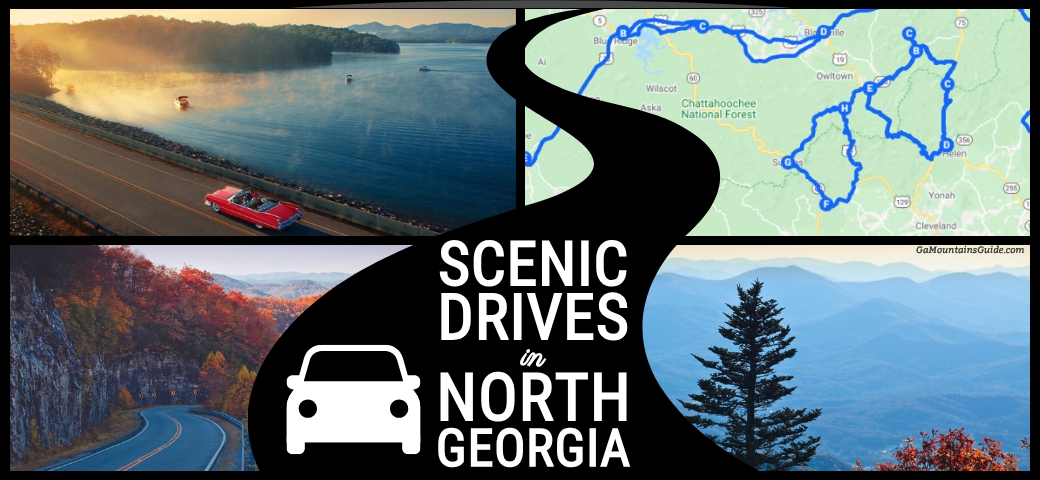
Top 4 Scenic Drives
in North Georgia
Four scenic drives that start within about 65 minutes of Southern Serenity Cabin: the GA-60 Suches Valley Loop (76 miles), the Russell-Brasstown Scenic Byway (40.6 miles), the Hwy 129 / US-19 Blood Mountain Run from Neel Gap to Dahlonega, and the Toccoa Ranger District Drive, a 102-mile loop that starts in Blue Ridge. All four are free apart from gas.
Last verified
Some of the best time you'll spend in the Blue Ridge area won't be at a trailhead or a restaurant table — it'll be behind the wheel with the windows down. North Georgia's mountain roads wind through national forest, river valleys, and ridgelines with views that open up when you least expect them. These four drives cover everything from a quick 45-minute loop to a full-day adventure, and all of them start within about 65 minutes of the cabin.
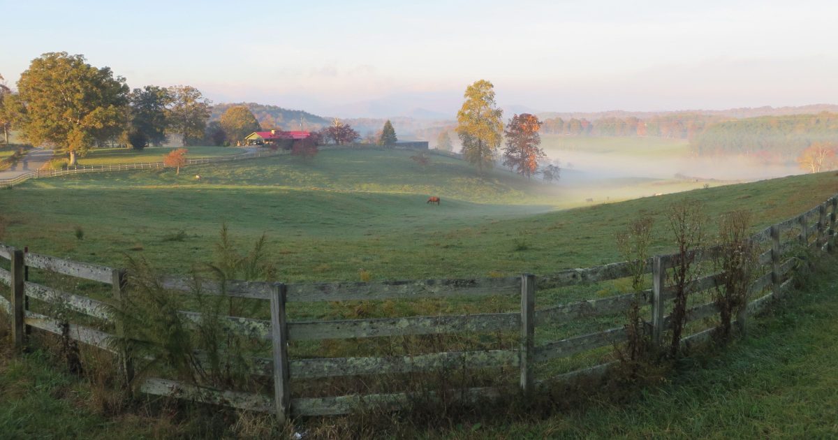
GA-60 Suches Valley Loop — "Valley Above the Clouds"
Follow Highway 60 south from Morganton through the Chattahoochee National Forest to Suches — the highest community in Georgia at nearly 3,000 feet, earning its nickname "The Valley Above the Clouds." The 76-mile loop winds through the Toccoa River valley, Woody Gap, Vogel State Park, and Lake Winfield Scott before returning to Blue Ridge. Highlights include the 270-foot Toccoa River Swinging Bridge (longest east of the Mississippi), Sosebee Cove old-growth forest, and views from the Appalachian Trail at Woody Gap.

Russell-Brasstown Scenic Byway
This 40.6-mile National Scenic Byway loops through the highest elevations of North Georgia's Chattahoochee National Forest, connecting Brasstown Bald — Georgia's highest peak at 4,784 ft — to a series of spectacular waterfalls and Appalachian Trail crossings. The route covers GA-348, GA-180, GA-17/75, and GA-75 Alt, taking drivers from Helen up to Hogpen Gap with 360-degree views reaching four states on clear days. Side trails lead to Dukes Creek Falls, Raven Cliffs Falls, and High Shoals Falls.

Hwy 129 / US-19 Blood Mountain Run — Neel Gap to Dahlonega
US-19/129 south from Blairsville to Turner's Corner and on toward Dahlonega is one of North Georgia's most exhilarating mountain roads, threading 9 miles of tight switchbacks up and over Neel Gap at the base of Blood Mountain — the Appalachian Trail's highest summit in Georgia. Along the way you pass Helton Creek Falls, Lake Winfield Scott, Vogel State Park, and Mountain Crossings at Walasi-Yi, the only point where the Appalachian Trail passes through a building. Popular with motorcyclists and cyclists year-round.
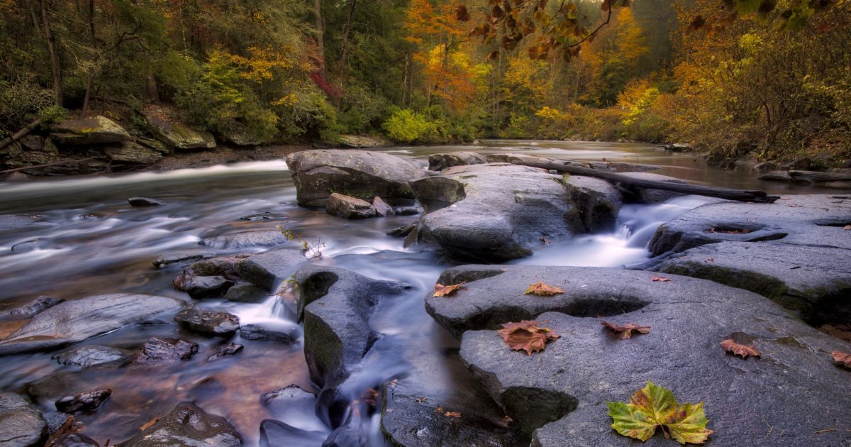
Toccoa Ranger District Drive: Blue Ridge to Dahlonega & Apple Alley
This 102-mile loop, originally mapped by the U.S. Forest Service, departs Blue Ridge and winds south through the Chattahoochee National Forest toward Dahlonega, then returns via GA-52's "Apple Alley" past Ellijay. Along the way the drive takes in the Toccoa River rapids on Aska Road, Old Skeenah Mill (1848), Dahlonega's historic gold-rush square, and fruit stands and orchards outside Ellijay — the self-proclaimed Apple Capital of Georgia. The route covers 3–4 hours of driving without stops and works well as a full-day loop.
Questions about scenic drives near Blue Ridge
When is peak fall color on the scenic drives near Blue Ridge?
Peak fall color reaches Suches Valley on the GA-60 loop in mid-to-late October, about a week ahead of lower elevations. October is also prime time for the Toccoa Ranger District Drive, when orchards on GA-52 near Ellijay let you stop and pick or buy direct.
Which scenic drive starts right in Blue Ridge?
The Toccoa Ranger District Drive. This 102-mile loop, originally mapped by the U.S. Forest Service, departs Blue Ridge, runs south toward Dahlonega and returns via GA-52's Apple Alley past Ellijay. Plan on 3 to 4 hours of driving without stops.
Where is the best view on the Russell-Brasstown Scenic Byway?
Hogpen Gap overlook on GA-348, at 3,450 ft, has views reaching four states on clear days. Arrive before 9 a.m. in fall and you may see cloud inversions filling the valleys below.
How long is the GA-60 Suches Valley Loop?
The loop is 76 miles and starts about 27 minutes from the cabin. It runs from Morganton through the Chattahoochee National Forest to Suches, past Woody Gap, Vogel State Park and Lake Winfield Scott, then back to Blue Ridge.
Do the scenic drives near Blue Ridge cost anything?
No. All four drives on this list are free apart from gas. Mountain Crossings at Walasi-Yi on the Neel Gap route is also free to walk through and browse.